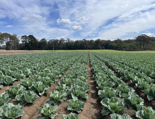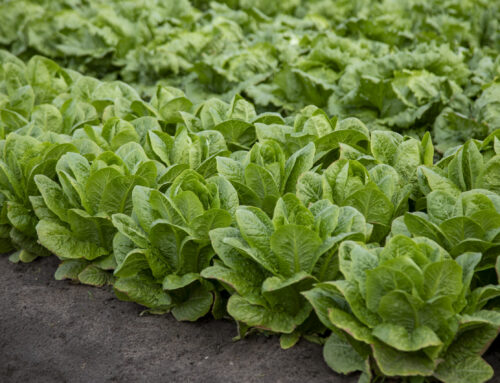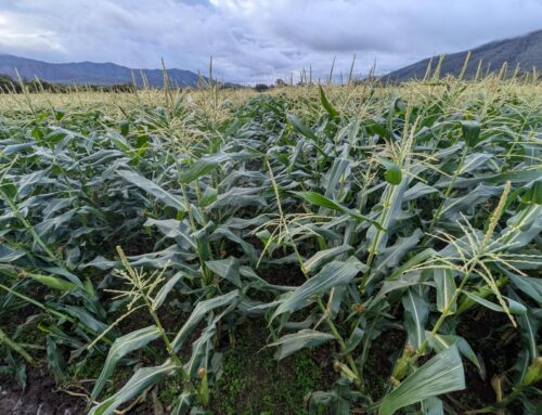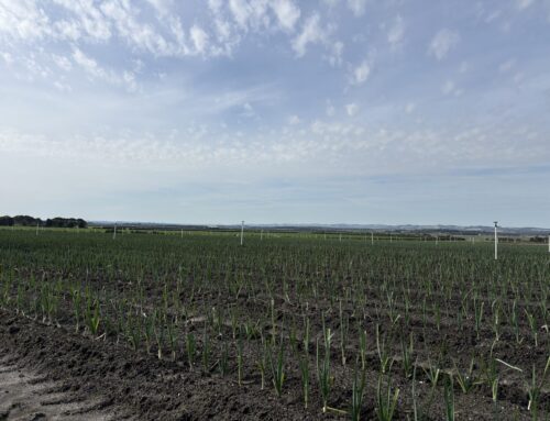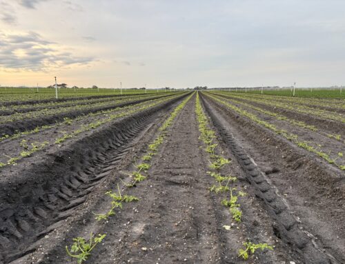
This presentation covers the general approach and results generated from the implementation of high resolution multispectral satellite imagery. This imagery was used to predict total carrot root yield in three growing regions at the field level, and to investigate yield variability within those fields.
This research demonstrated high accuracies (up to 95%) using remotely sensed data to predict yield over two growing seasons. Further research is looking to provide yield forecasts early in the season so remedial actions can be put in place to optimise yield.
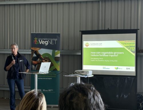
Through the industry funded project VG16009 ‘Adoption of precision systems technology in vegetable production’, AARSC-UNE with the support of the QLD Department of Agriculture and Fisheries (DAF) tested satellite remote sensors for yield forecasting purposes across multiple growing regions and commercial vegetable farms.
This project has been funded by Hort Innovation, using the vegetable industry research and
development levy and contributions from the Australian Government. Hort Innovation is the growerowned, not-for-profit research and development corporation for Australian horticulture.